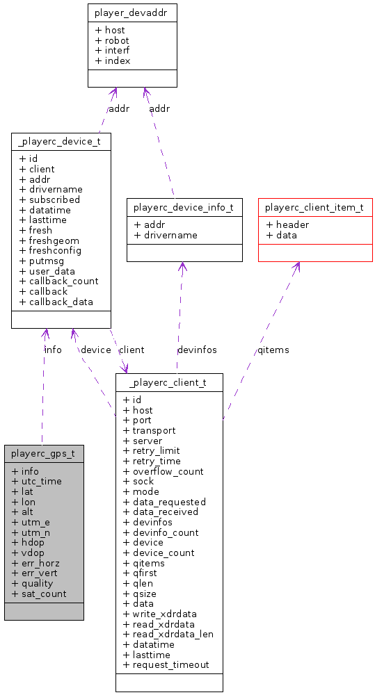
playerc_gps_t Struct Reference
[gps]
#include <playerc.h>
Collaboration diagram for playerc_gps_t:

Detailed Description
GPS proxy data.
Definition at line 1535 of file playerc.h.
Public Attributes | |
| playerc_device_t | info |
| Device info; must be at the start of all device structures. | |
| double | utc_time |
| UTC time (seconds since the epoch). | |
| double | lat |
| Latitude and logitude (degrees). | |
| double | lon |
| double | alt |
| Altitude (meters). | |
| double | utm_e |
| UTM easting and northing (meters). | |
| double | utm_n |
| double | hdop |
| Horizontal dilution of precision. | |
| double | vdop |
| Vertical dilution of precision. | |
| double | err_horz |
| Horizontal and vertical error (meters). | |
| double | err_vert |
| int | quality |
| Quality of fix 0 = invalid, 1 = GPS fix, 2 = DGPS fix. | |
| int | sat_count |
| Number of satellites in view. | |
Member Data Documentation
| double playerc_gps_t::lat |
Latitude and logitude (degrees).
Latitudes are positive for north, negative for south. Logitudes are positive for east, negative for west.
Definition at line 1546 of file playerc.h.
Referenced by PlayerCc::GpsProxy::GetLatitude().
| double playerc_gps_t::alt |
Altitude (meters).
Positive is above sea-level, negative is below.
Definition at line 1550 of file playerc.h.
Referenced by PlayerCc::GpsProxy::GetAltitude().
The documentation for this struct was generated from the following file:
